Click on image to enlarge.
Gallery written: Tue Aug 28 09:52:27 2012
Image Directory: /scratch/fwo/tam/BigSky/data_20120808/Small_Model_Prop/images
|
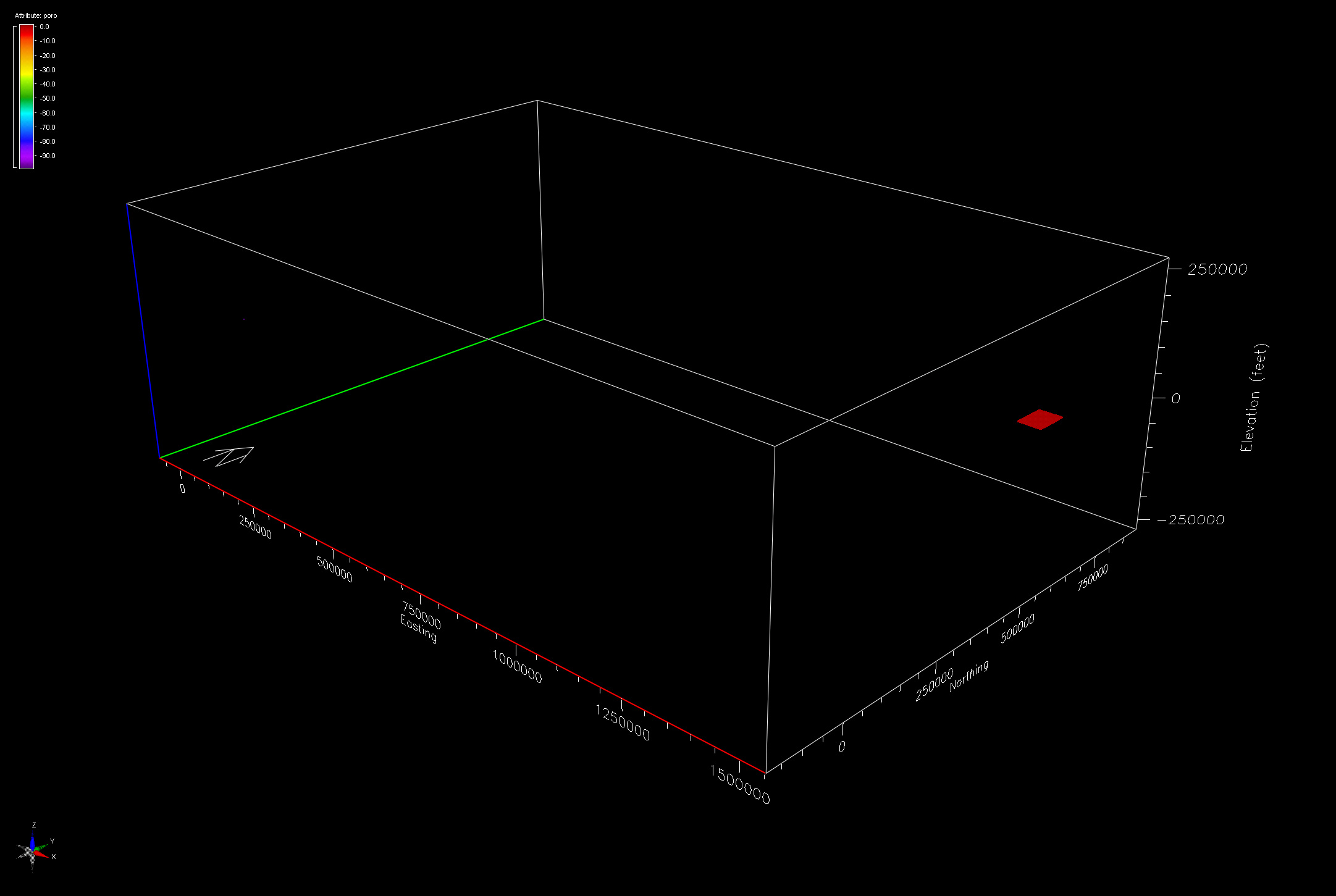
Earthvision View of Full Data File KD_Small_070712.GSLIB
|
File ==> KD_Small_070712.GSLIB
PETREL: Properties
8
i_index unit1 scale1
j_index unit1 scale1
k_index unit1 scale1
x_coord unit1 scale1
y_coord unit1 scale1
z_coord unit1 scale1
PHITdecCorr2 unit1 scale1
Copy_of_KINT_GEO1_Var1_5_2 unit1 scale1
1 1 68 1431138.39779006 640145.86614173 298.98188019 0.073183 0.114499
2 1 68 1431437.29281768 640145.86614173 297.37920761 0.074503 0.112672

Reformat to EV File ==> KD_Small_prop.dat
# Type: scattered data
# Description: from KD_Small_070712.GSLIB
# Format: free
# Field: 1 x
# Field: 2 y
# Field: 3 z feet
# Field: 4 poro
# Field: 5 perm
# Projection: Local Rectangular
# Units: undefined
# End:
1431138.39779006 640145.86614173 298.98188019 0.073183 0.114499
1431437.29281768 640145.86614173 297.37920761 0.074503 0.112672

2545920 Total points x,y,z with poro and perm values
 337497 points located at x,y -99,-99
     50 points with perm and poro values -99 (located along an edge).

2208373 non-null points between the coordinates:
X Axis  1431138.398   1478662.707
Y Axis   640145.866    709954.134
Z Axis     -606.911      1216.053

Spacing in x,y is aprox 300 feet
Vertical spacing is variable aprox 35 and 17 ft and at 7 ft near 300-400 elev
Top_elev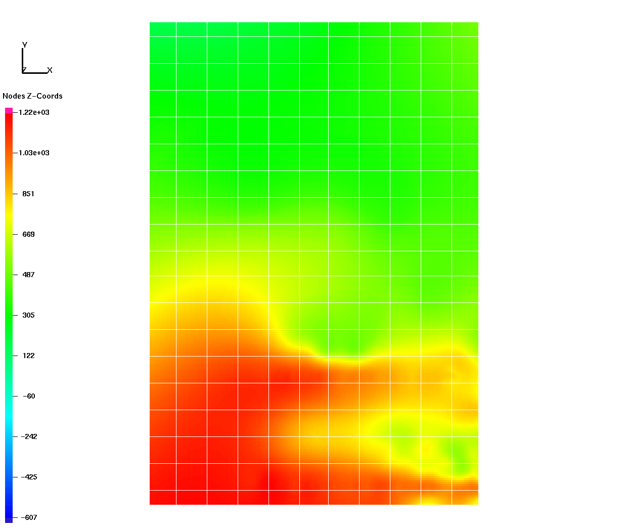
|
Top_perm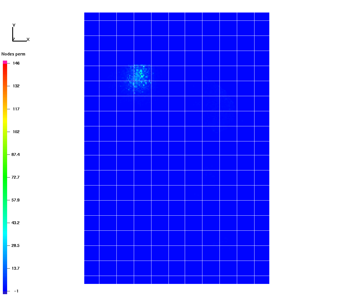
|
Top_poro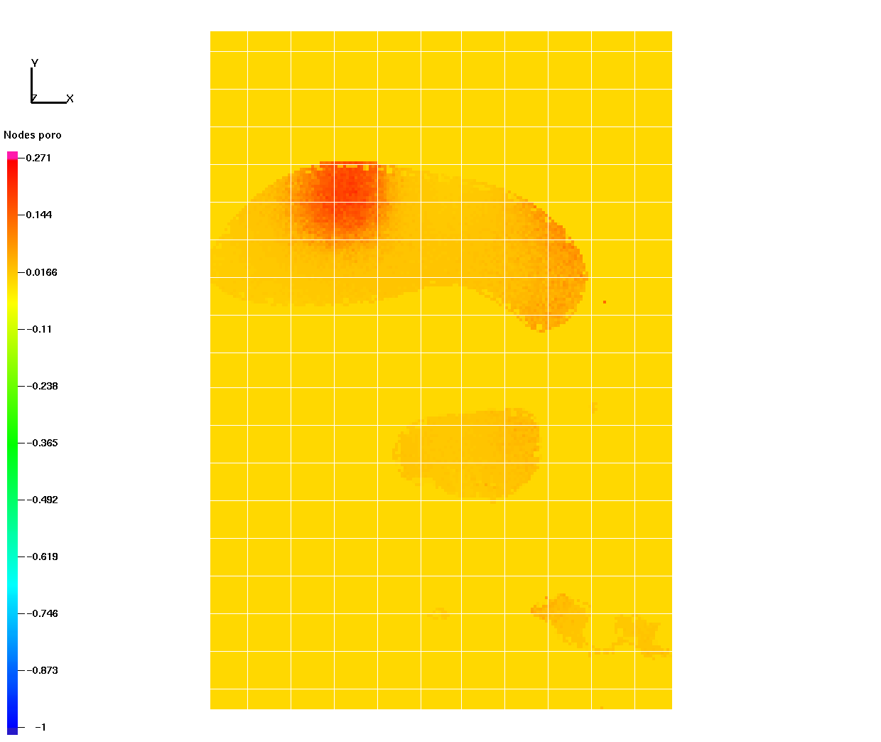
|
NE_elev_10x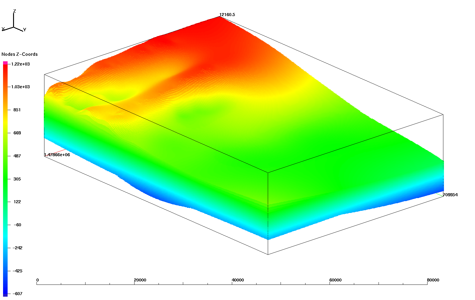
|
NE_perm_10x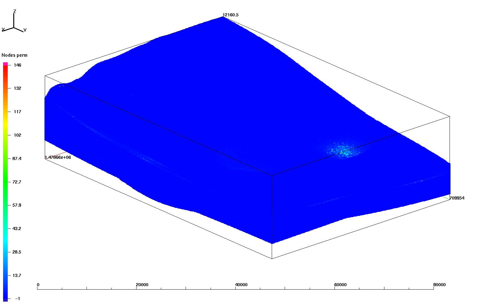
|
NE_poro_10x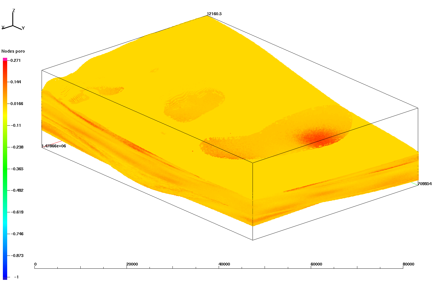
|
SW_elev_10x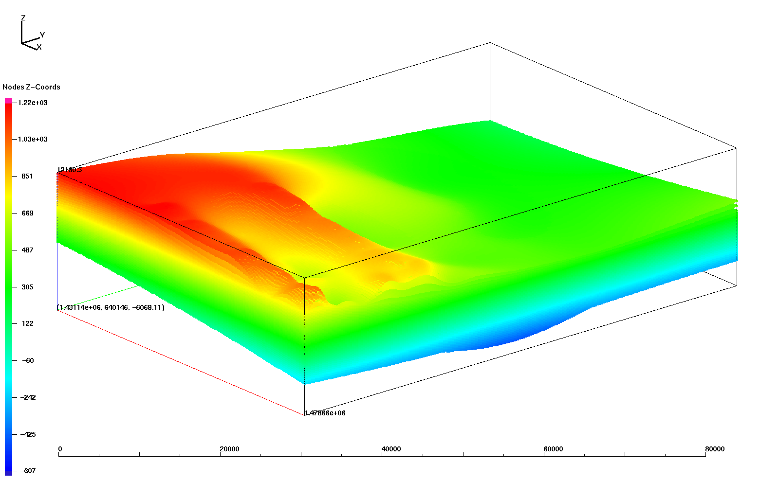
|
SW_perm_10x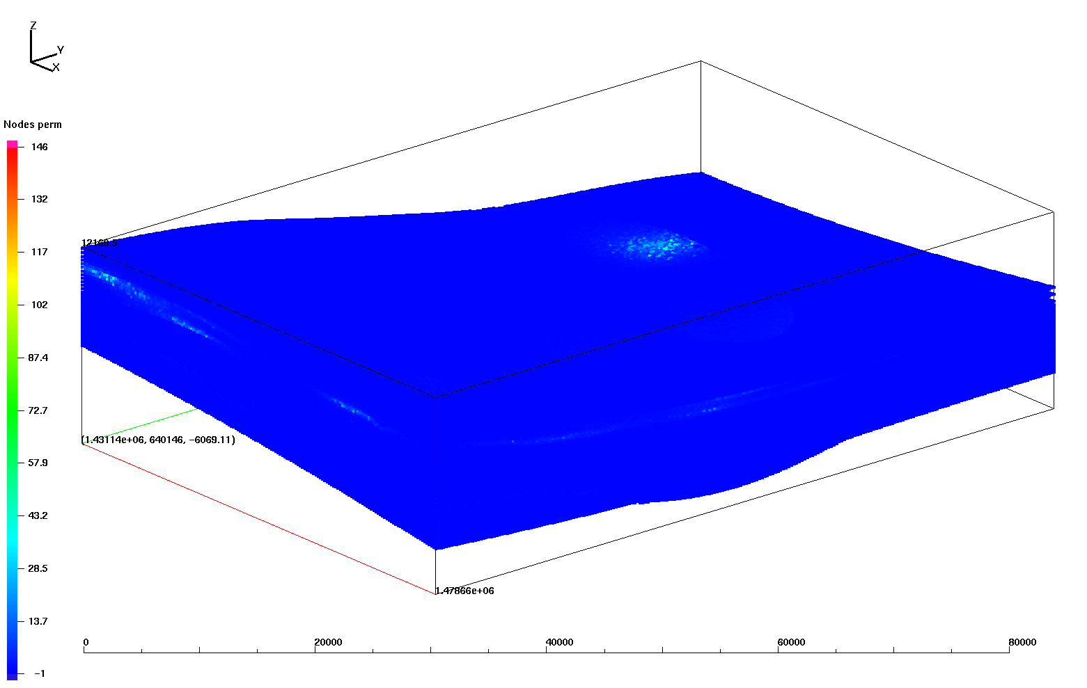
|
SW_poro_10x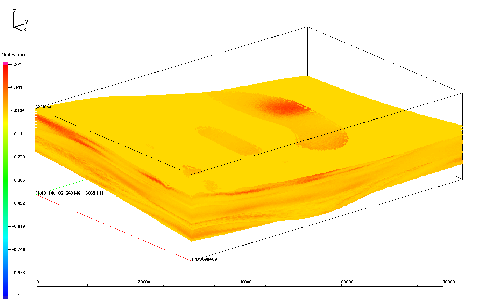
|