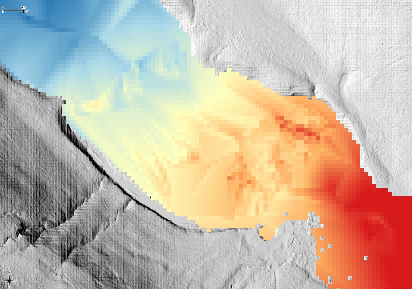
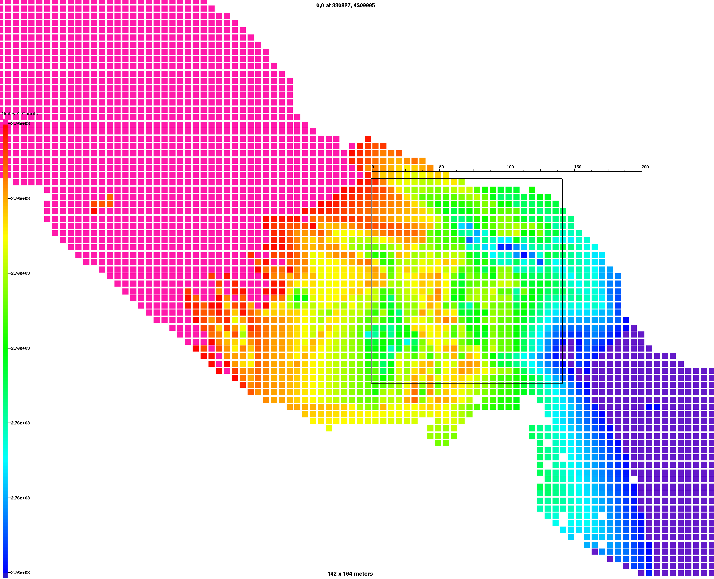
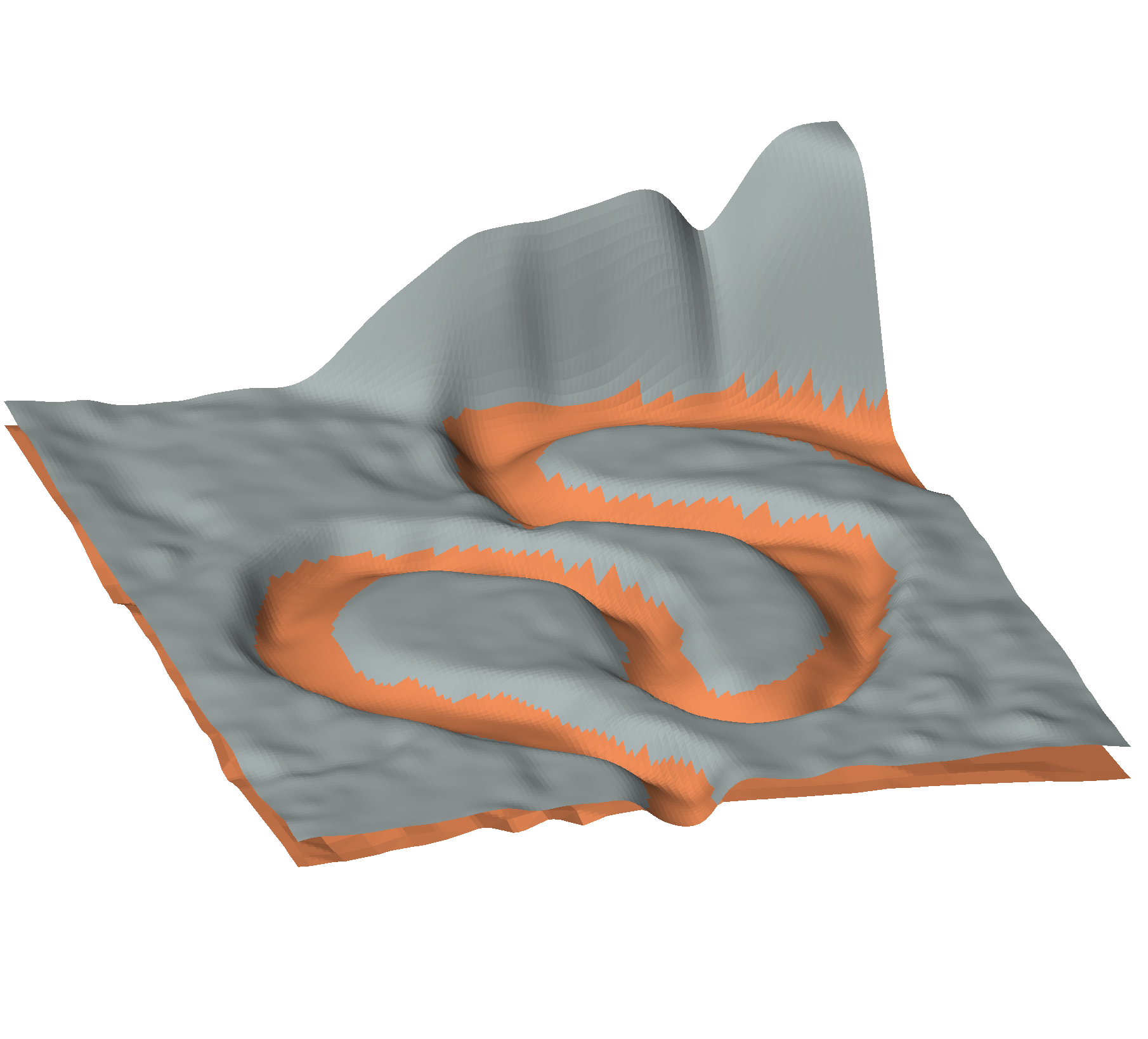
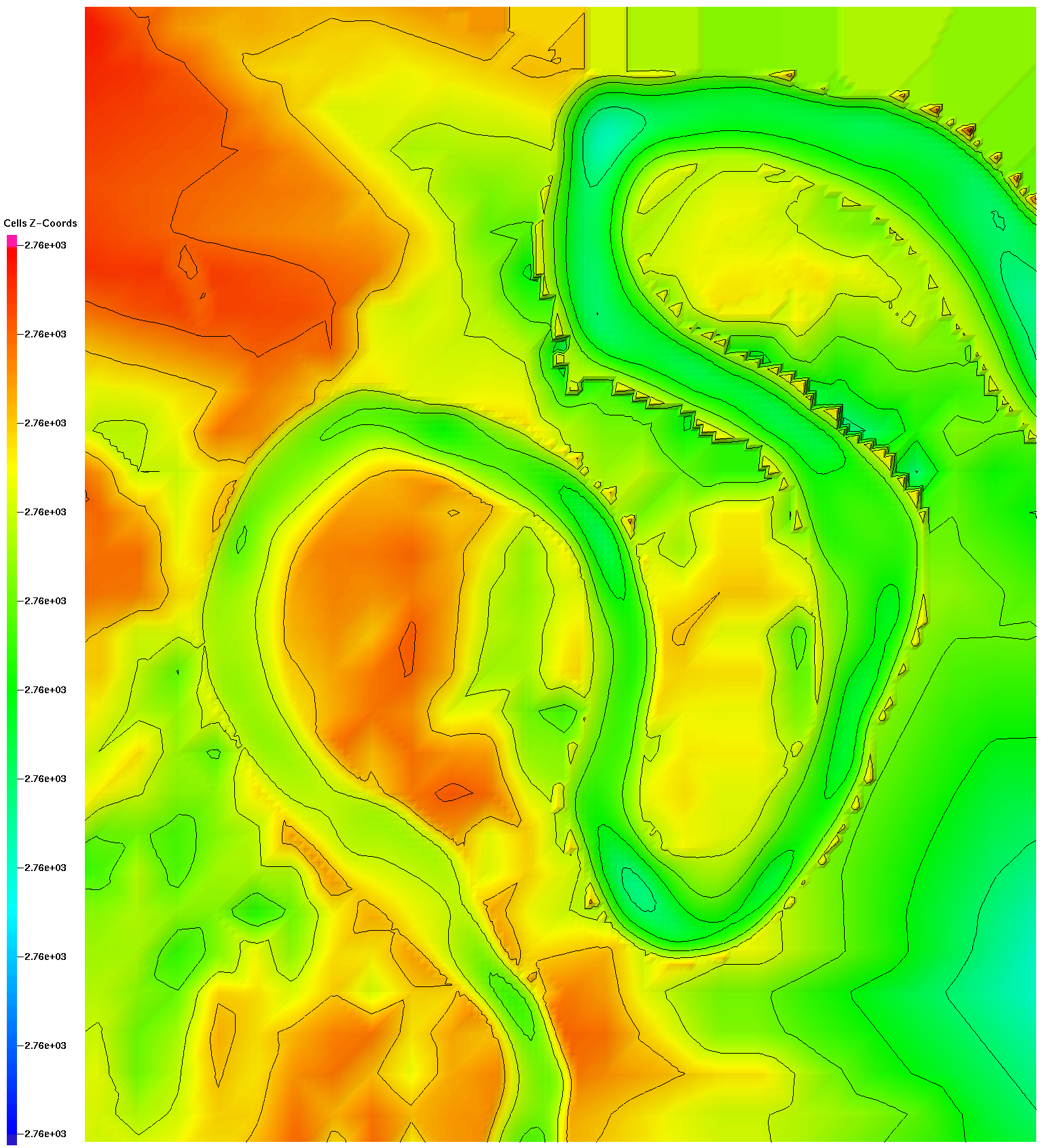
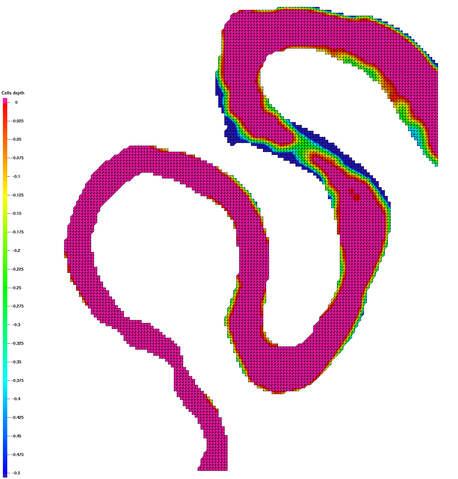
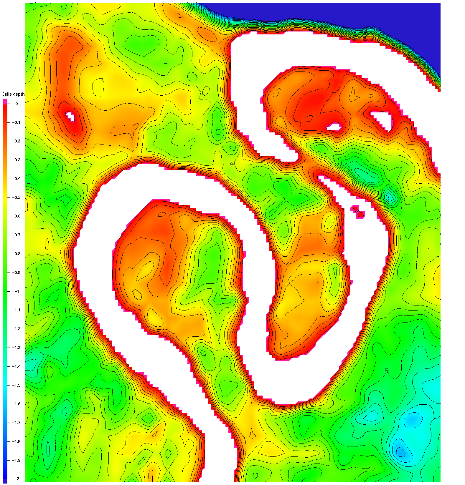
Soil Surface for Sand - Gravel Interface
These data represent the Sand layer between DEM and Gravel.
Note there is no data and probably no sand below the steep NE corner of DEM.
Issues:
- Data resolution is 6m and coarser than the 1m DEM
- Data extents for this domain contains NULL elevations.
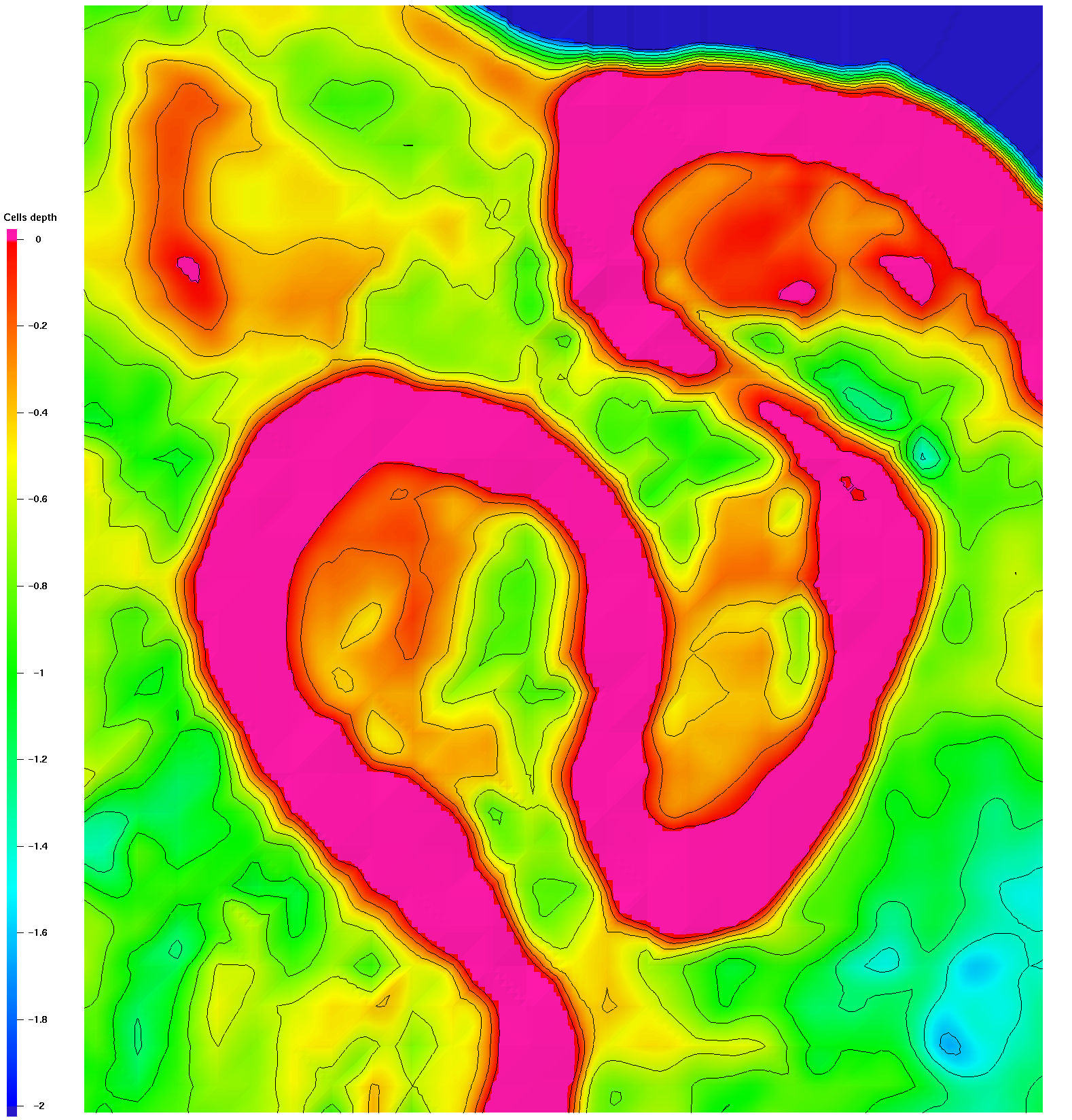
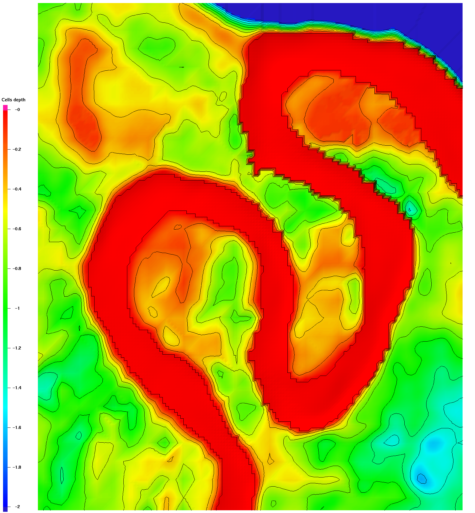
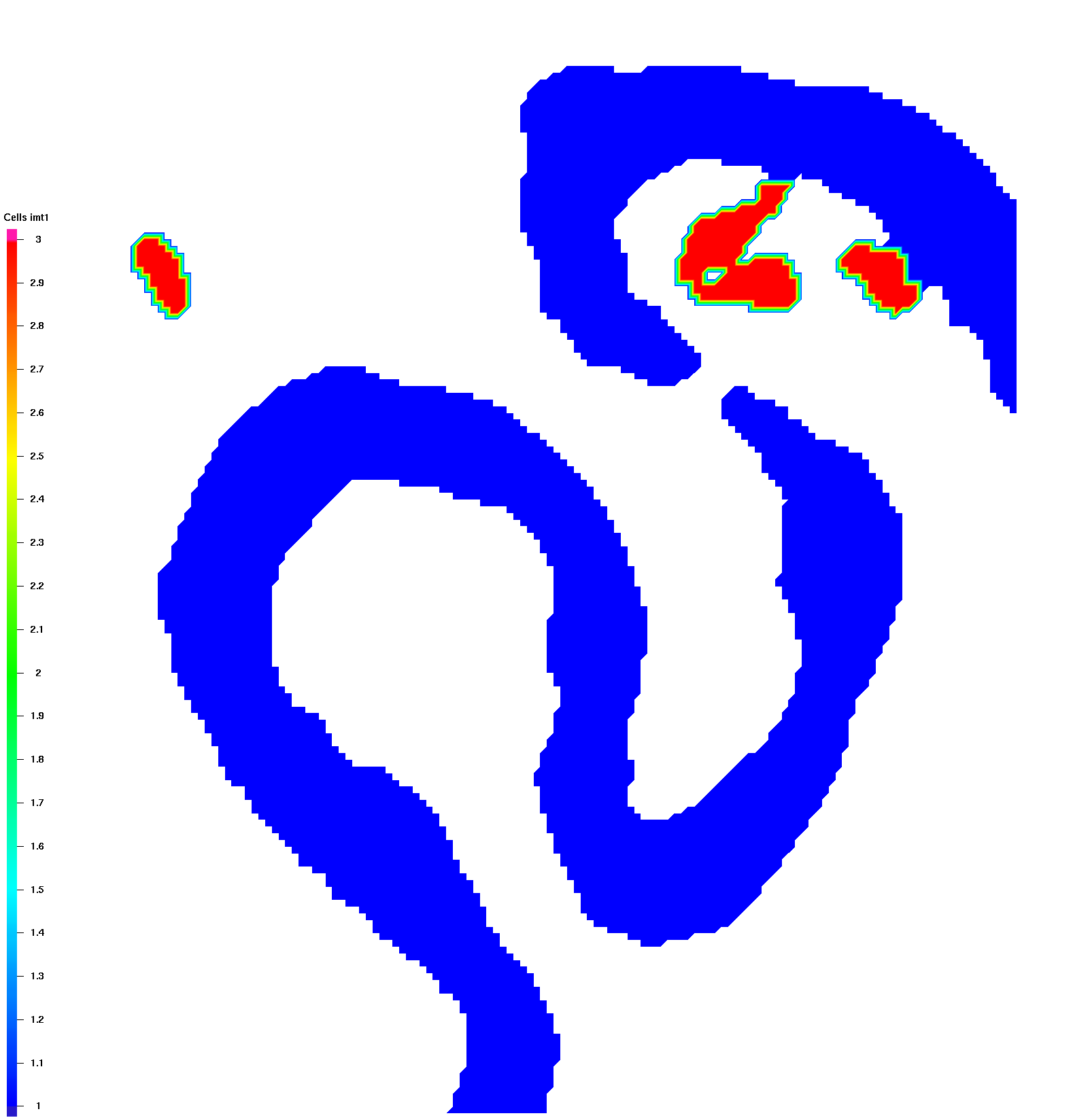
- With respect to the DEM there are "pop-ups" where data goes above the DEM
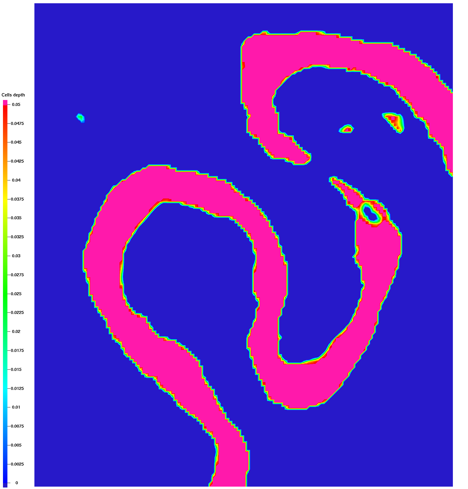
- With respect to the DEM there are areas where data is below the river
Adjustments:
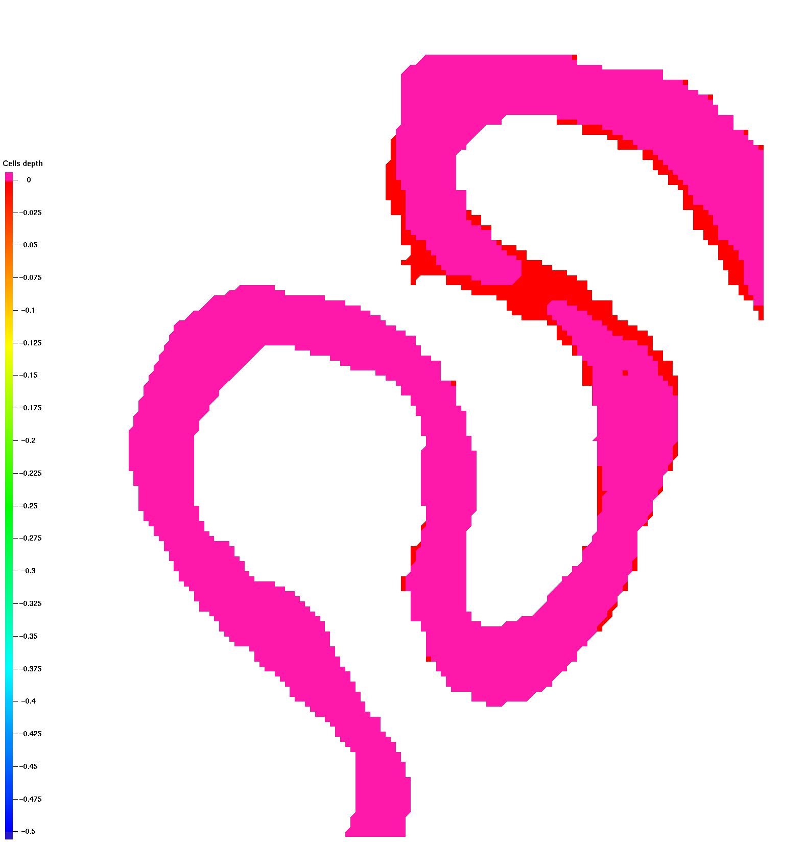
- Data are translated by (330827.99566, 4309995.002804) to match DEM
- Data interpolated to 1m spacing of the DEM
- Data elevations extended to full domain
- The pop-ups are fixed to have a mininum thickness of .1 meter
- The low spots below river are interpolated to be equal to DEM (river bottom)
Note this causes an abrupt elevation step to reach river elevations
Source:
PH_FP_GravelElev_TIN2.xyz
GeoTiff data extracted using QGIS.
UTM zone 13 EPSG: 26913
Nicholas A. Sutfin
Postdoctoral Research Associate
Earth and Environmental Science Division, EES-14
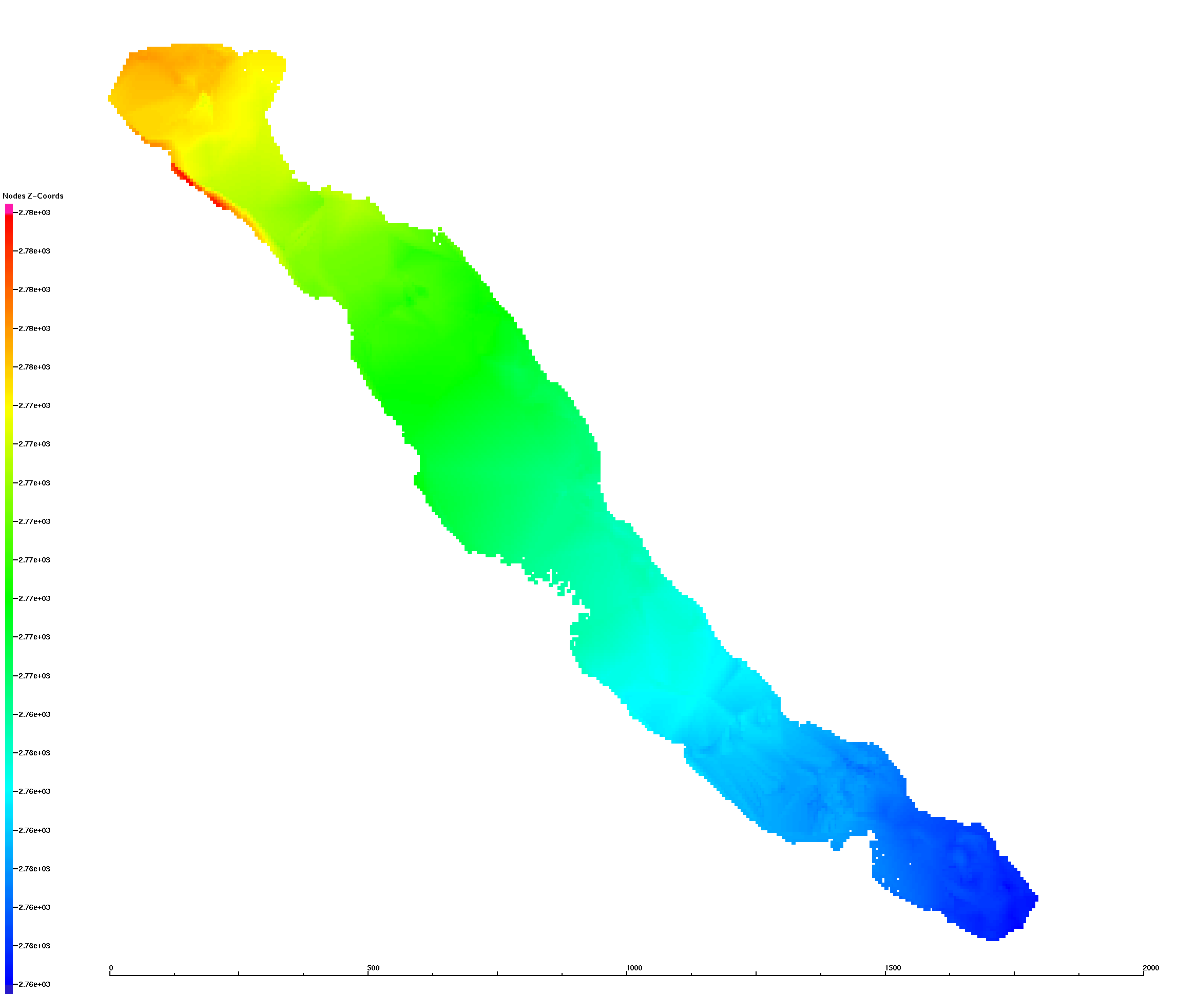
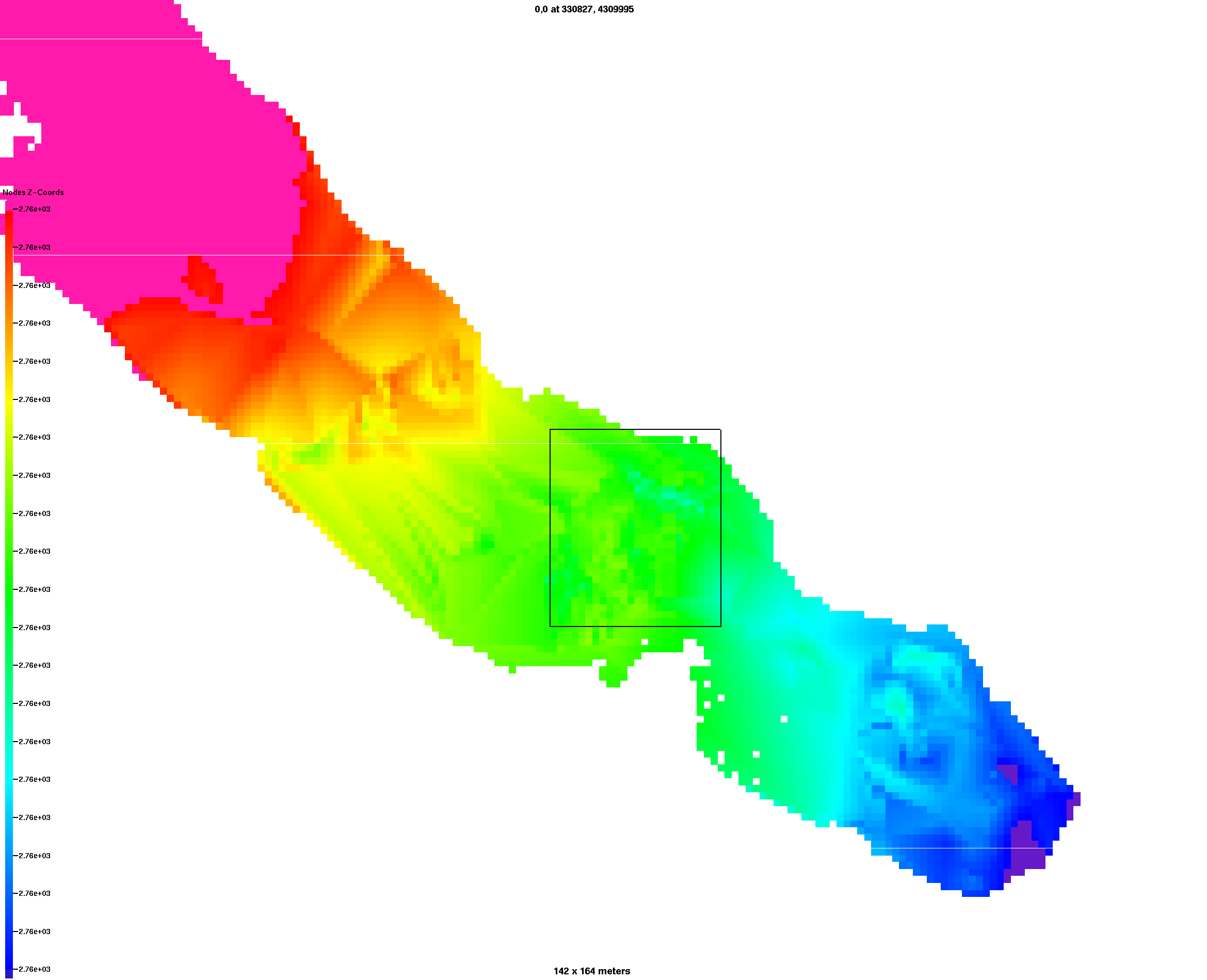
Two-meanders DEM boundary translated to 0,0 (from David):
Lower left corner is:
xllcorner 330827.99566
yllcorner 4309995.002804
Coordinate system: UTM 13N
Work Directory:
/scratch/sft/tam/IDEAS/East_River/two-meanders/meshes/data
Gallery written: Mon Apr 24 14:09:31 2017
Image Directory: /scratch/sft/tam/IDEAS/East_River/two-meanders/meshes/data/images
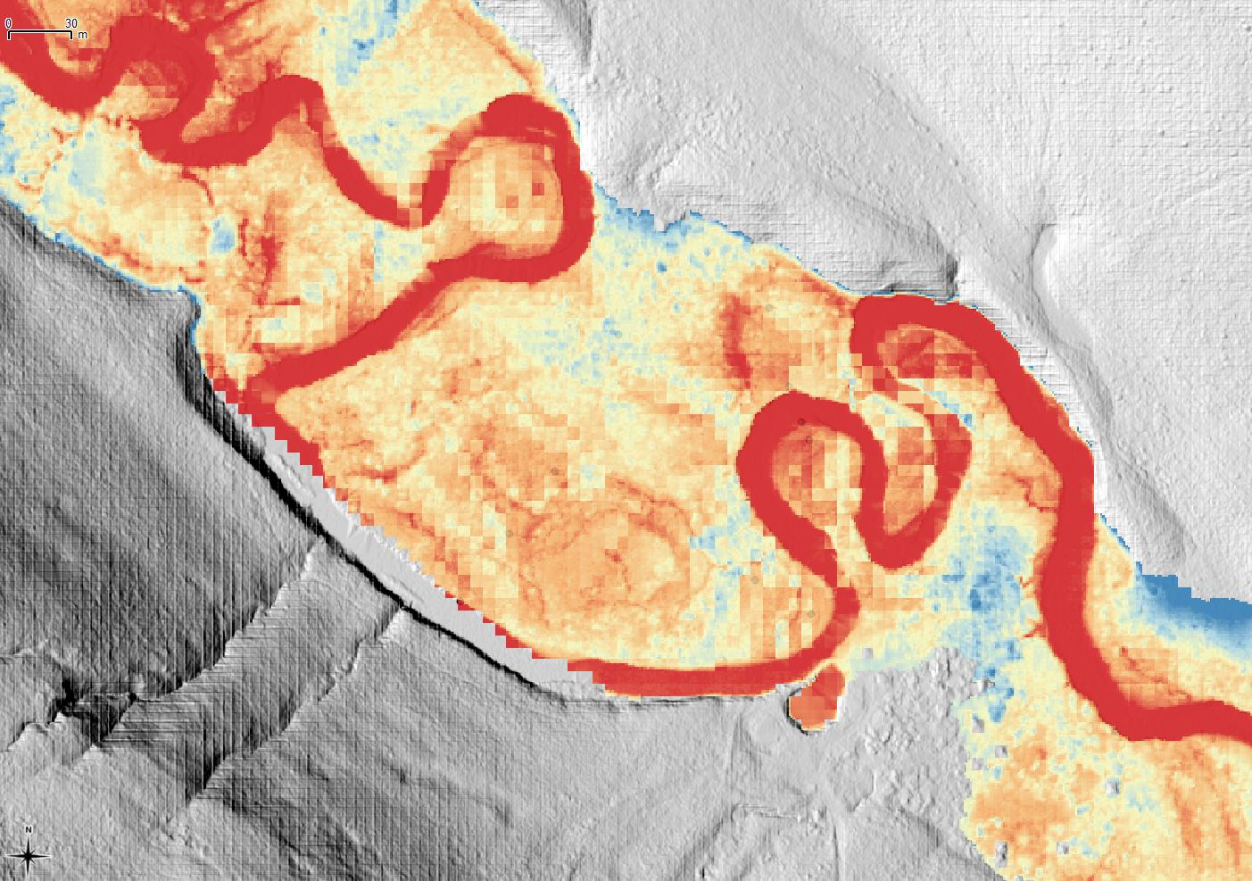
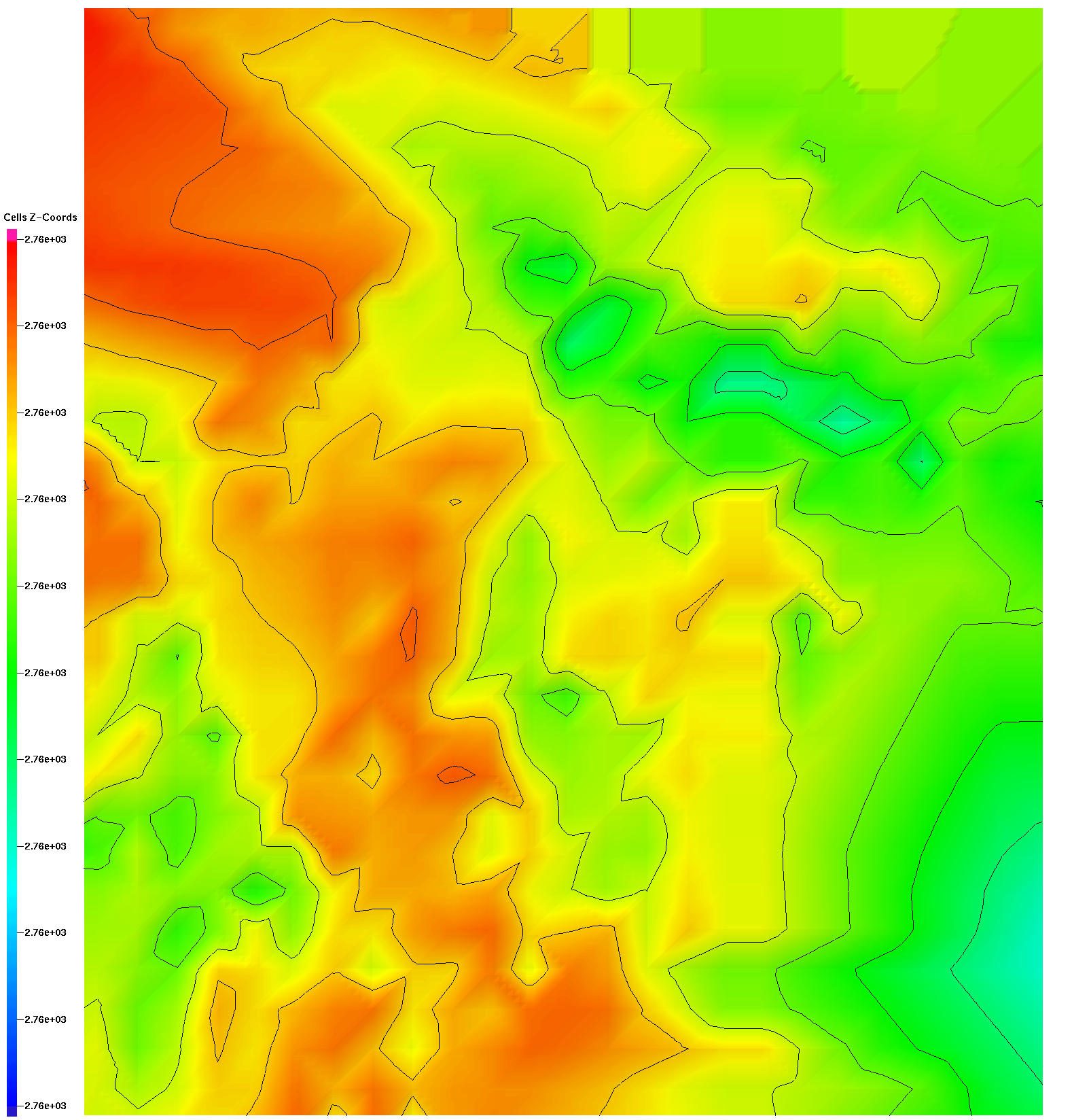
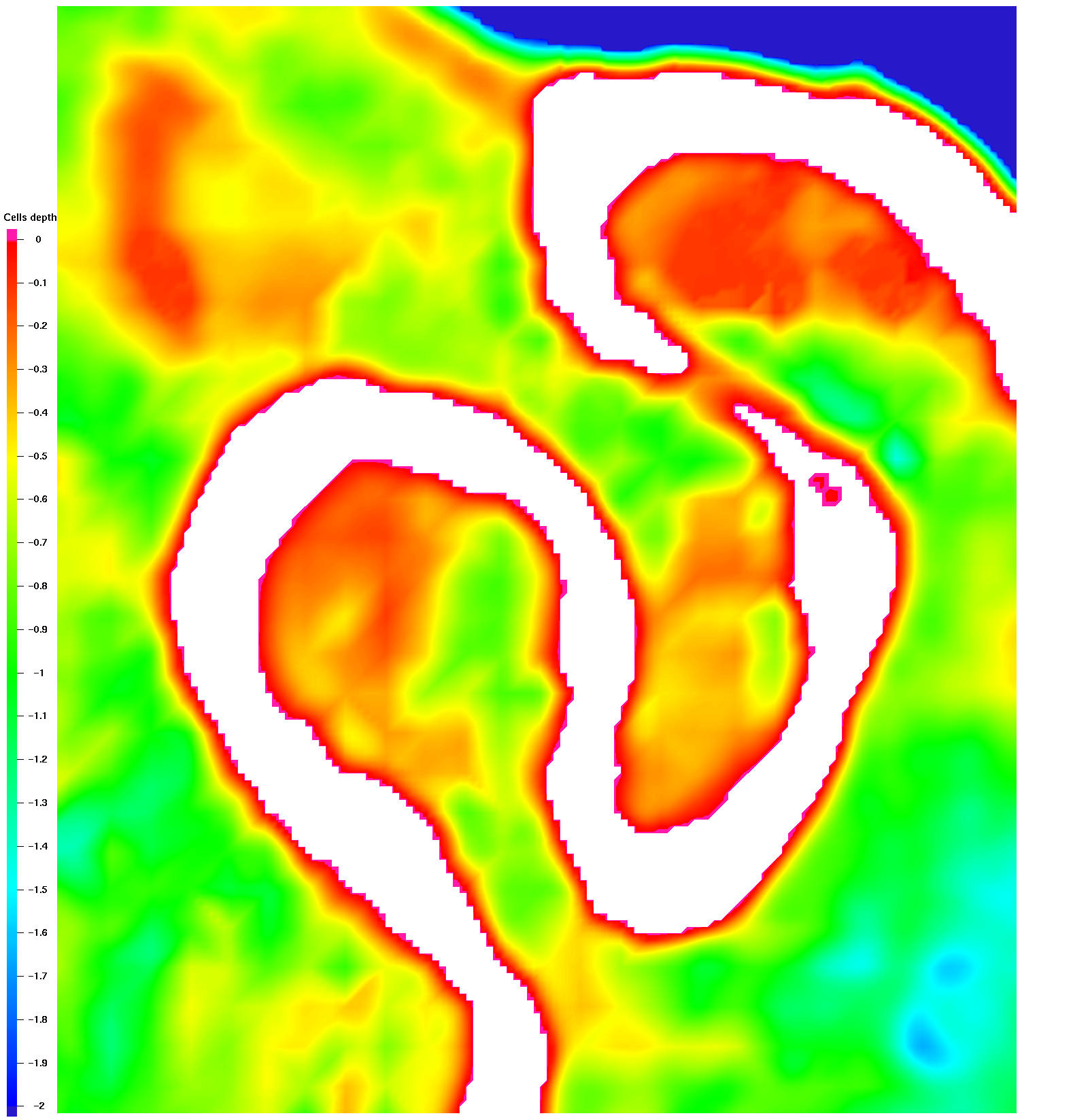
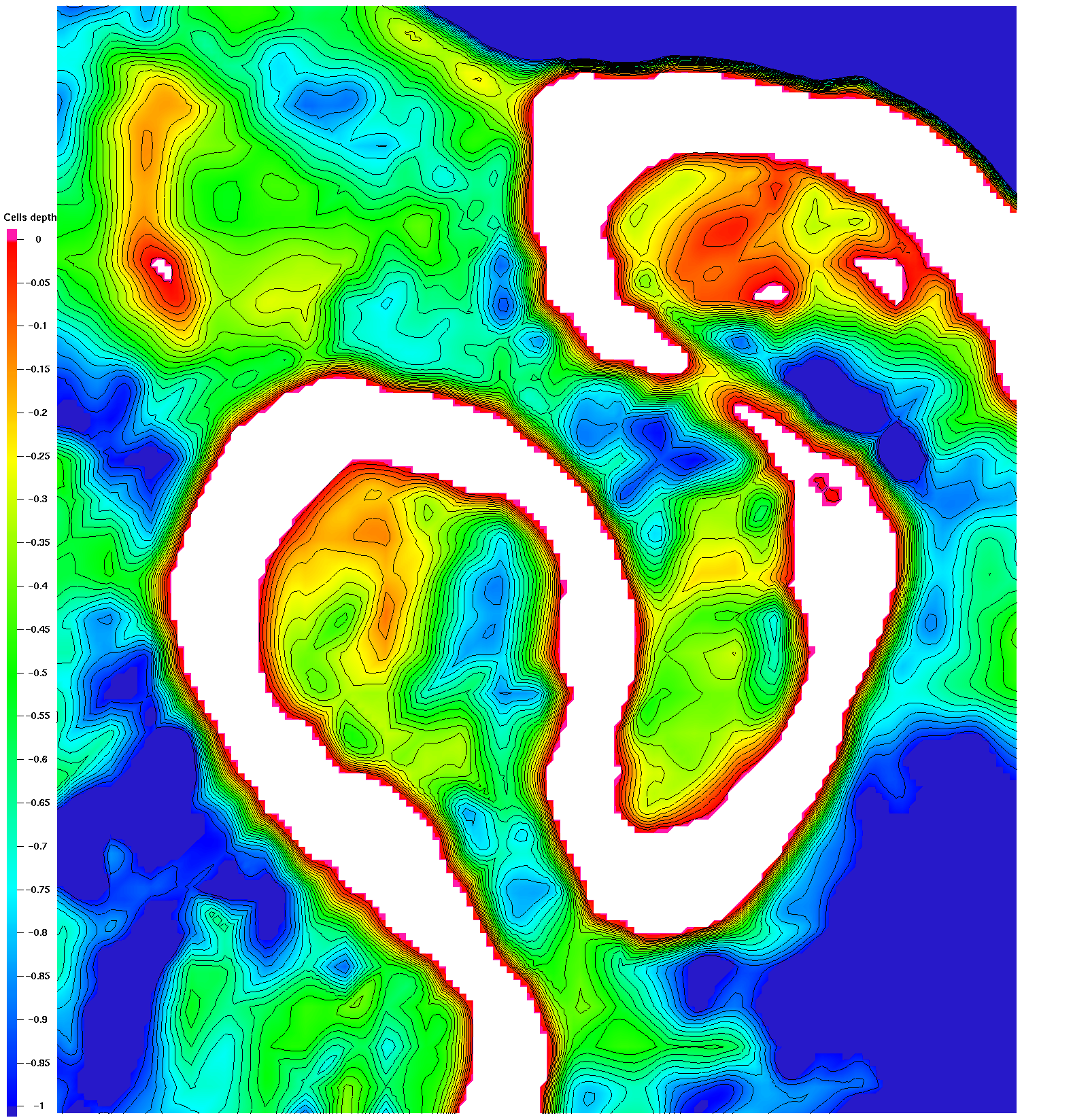
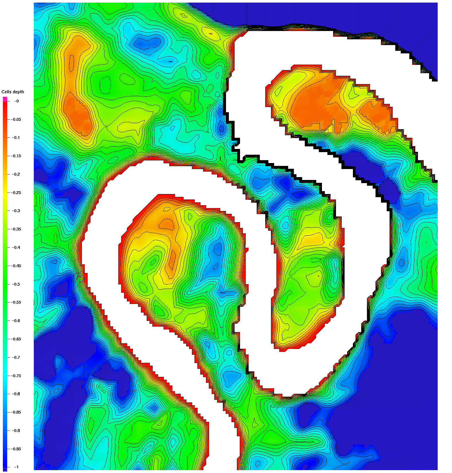
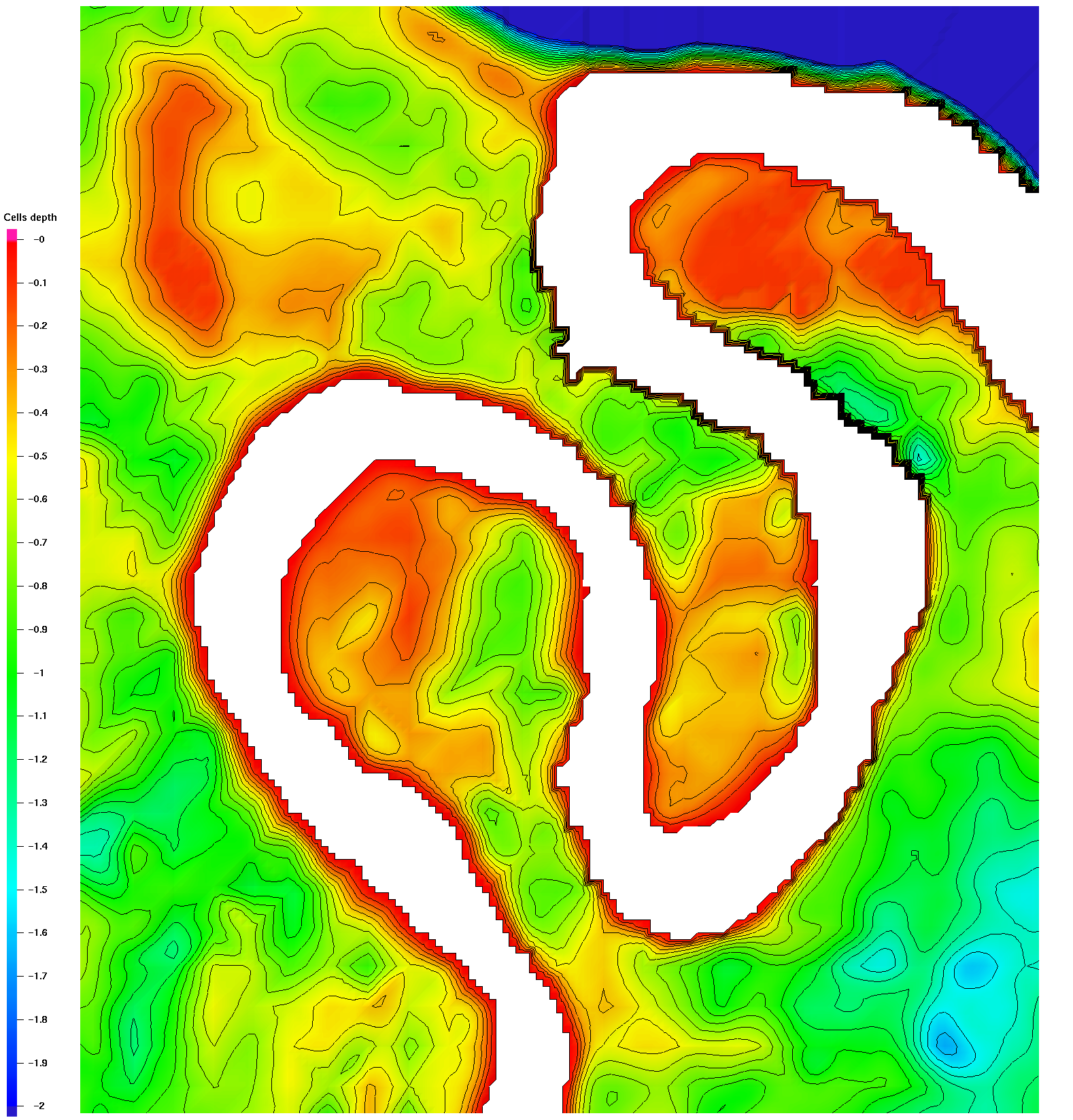
Soil Surface 1 meter Modified
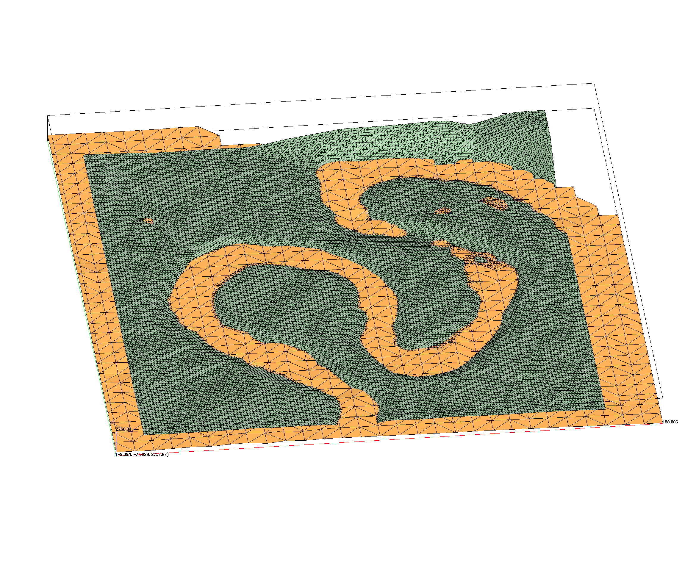
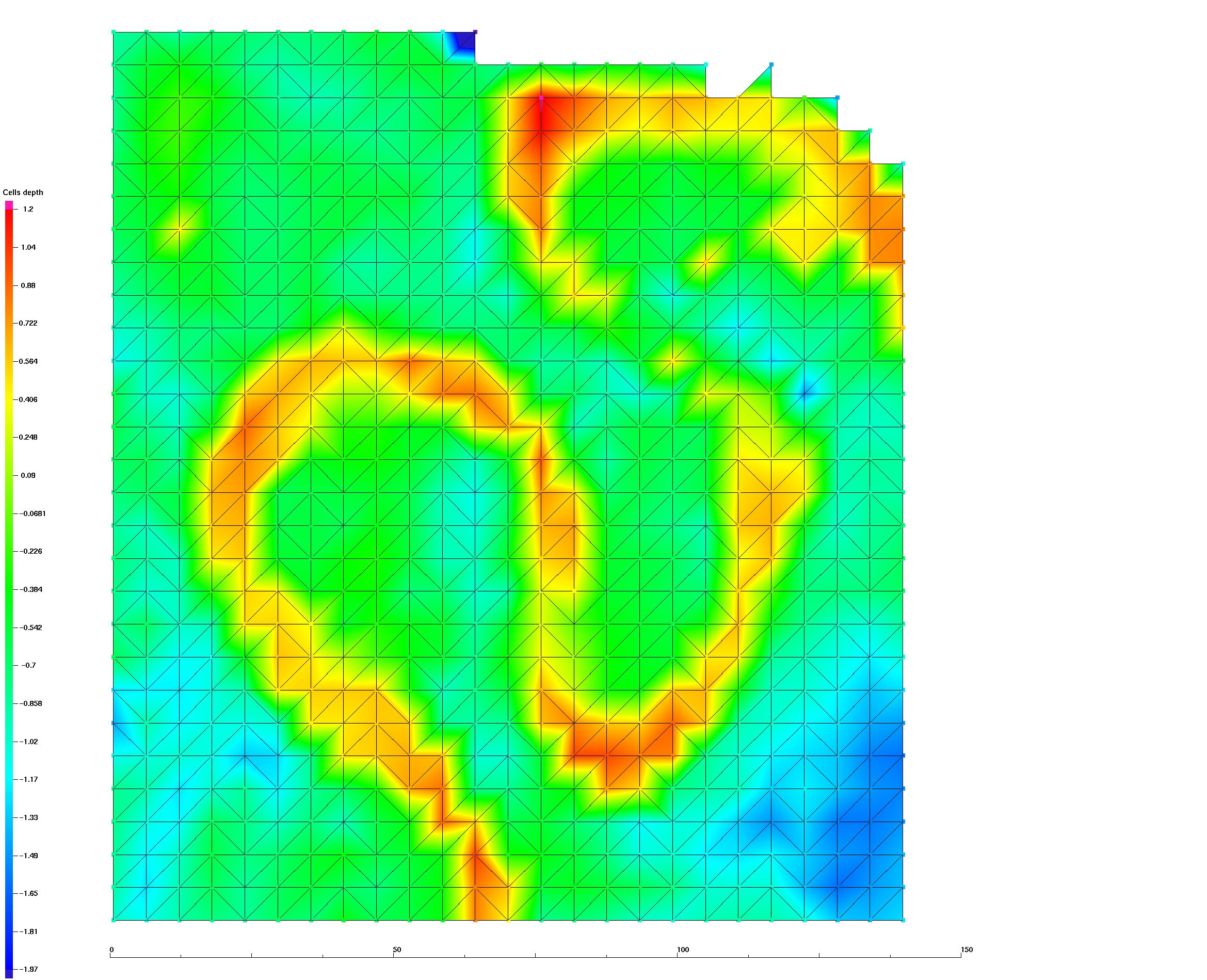
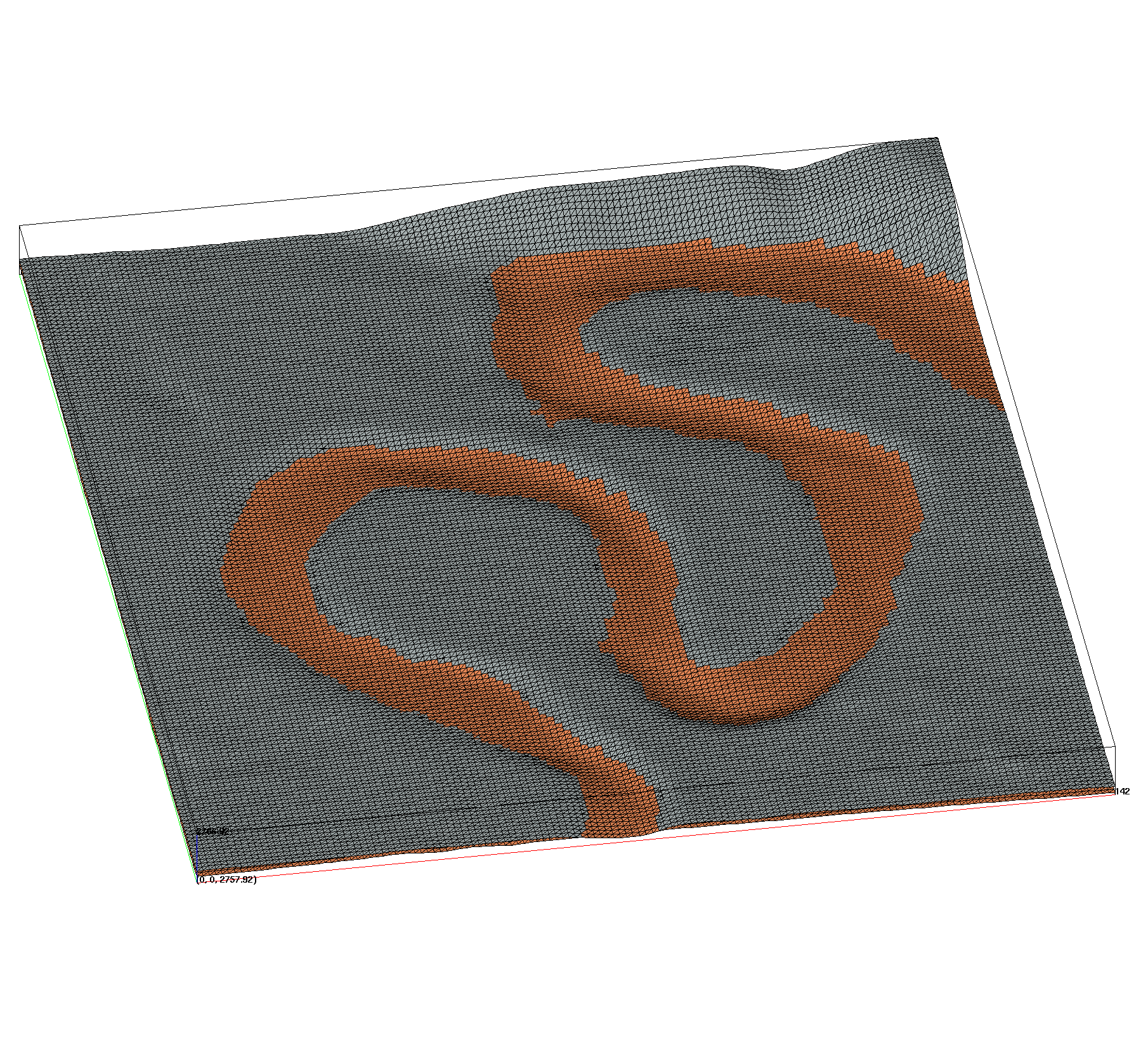
Modification and Method Images
Step 1) Fix pop-ups by moving elevations .1 meter below DEM
Step 2) Fix low areas under river bottom by raising elevations equal to DEM within river polygon
Step 3) Fix cross-overs by making surface coincident to DEM anywhere it crosses DEM