
Click on image to enlarge.
Gallery written: Thu Dec 5 07:42:38 2013
Image Directory: /scratch/sft/GFM_LANL_MODELS/Cole05_basin_data/images
|
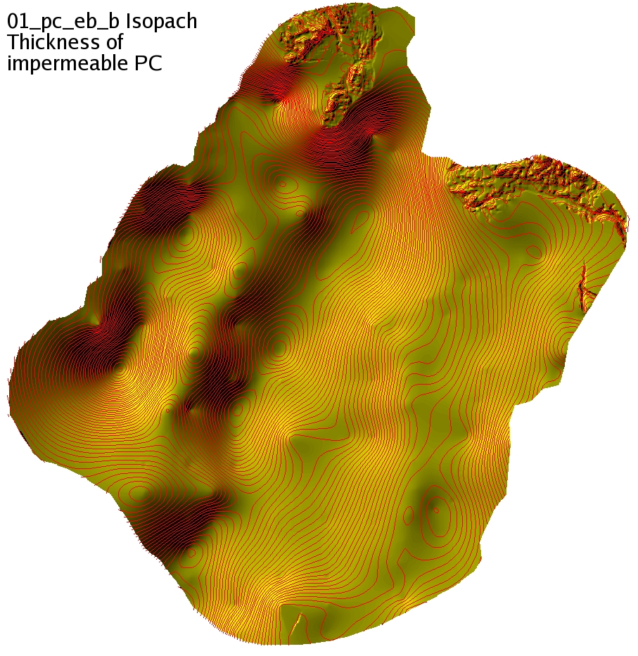
01_pc_eb_b_iso
|
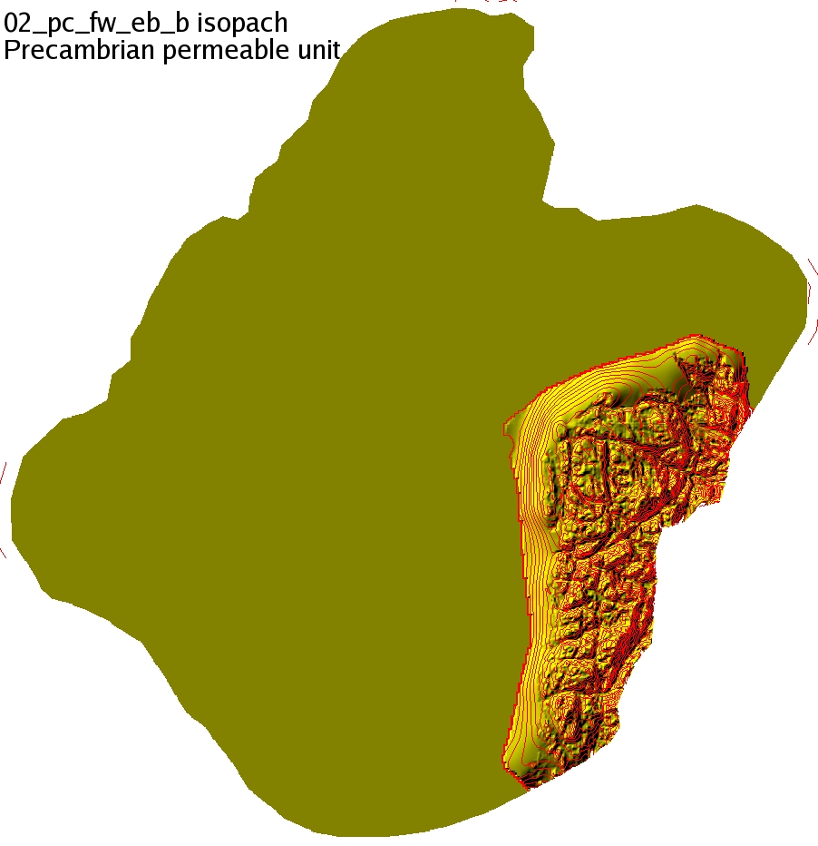
02_pc_fw_eb_b_iso
|
|
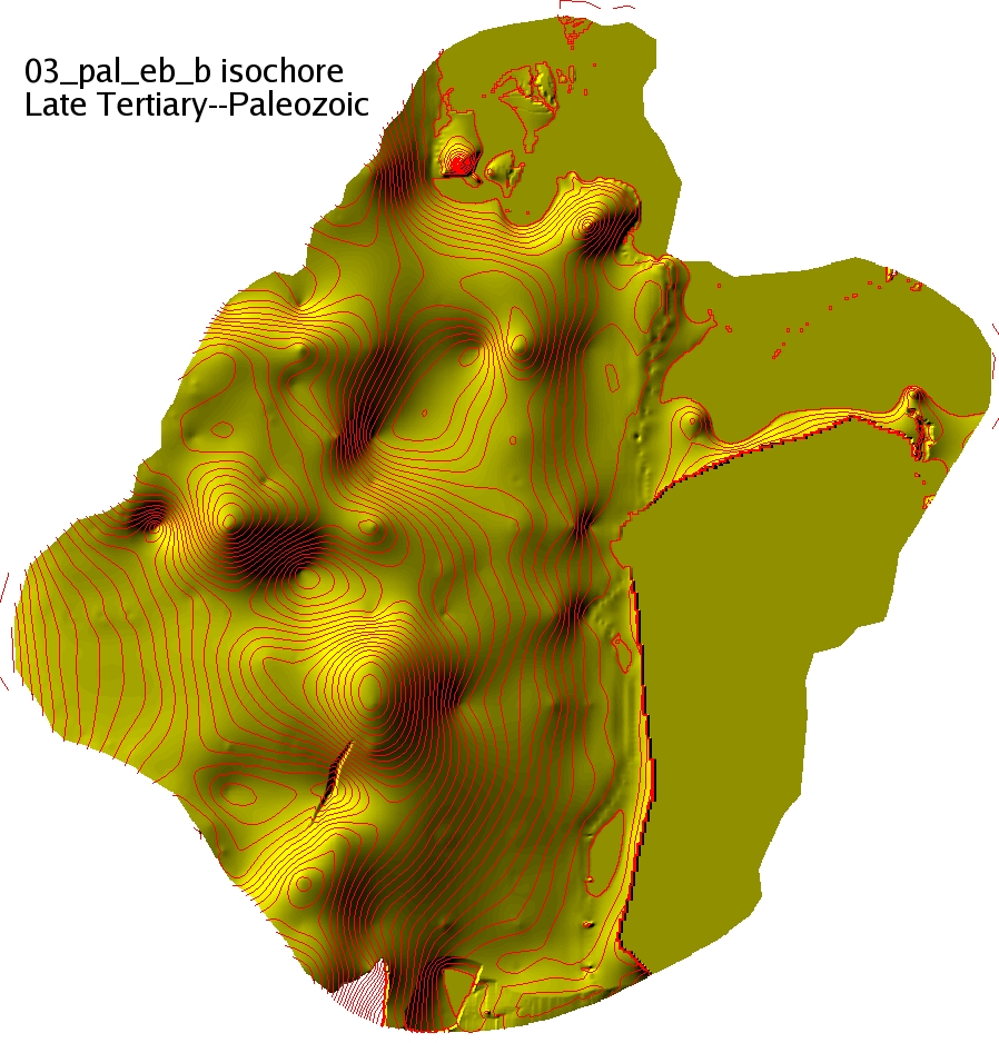
03_pal_eb_b_iso
|
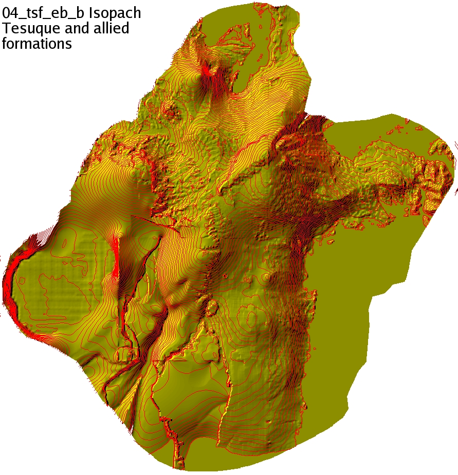
04_tsf_eb_b_iso
|
|
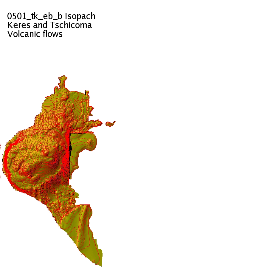
0501_tk_eb_b_iso
|
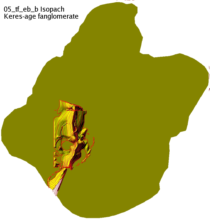
05_tf_eb_b_iso
|
|
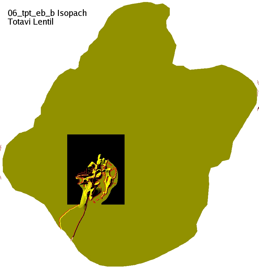
06_tpt_eb_b_iso
|
0702_tb4_eb_b_iso
|
|
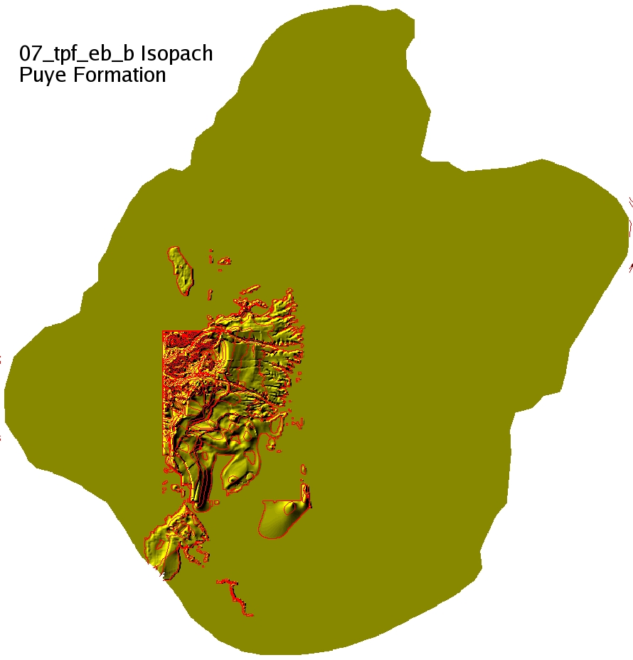
07_tpf_eb_b_iso
|
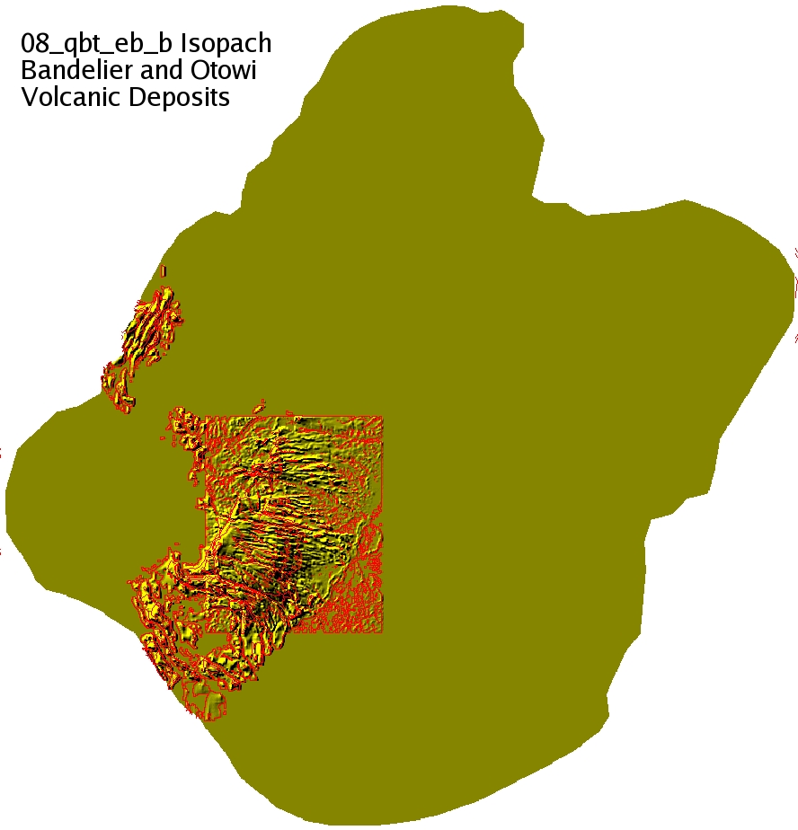
08_qbt_eb_b_iso
|
Meaning of file names:

07_tpf_eb_b_iso.jpg = isopach map of tpf_eb_b (Puye Fm)

isopach intervals: 250'
surface contour intervals: 500'

The surface contour maps have polygons that show the region where the
surfaces may exist. The regions outside of these polygons have zero
thickness on the isopach maps.

Original images in /n/www_meshing_local/meshing/proj/ER_LANL_Esp2006_GFM
Data no longer there and re-installed to here
/scratch/sft/GFM_LANL_MODELS/Cole05_basin_data